A Quest for Stylesheets

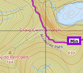
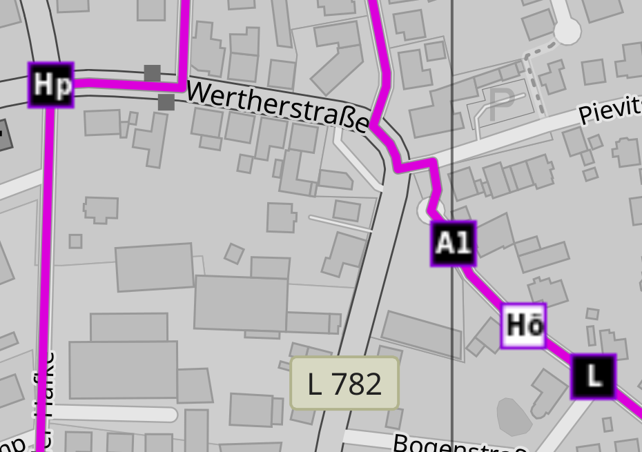
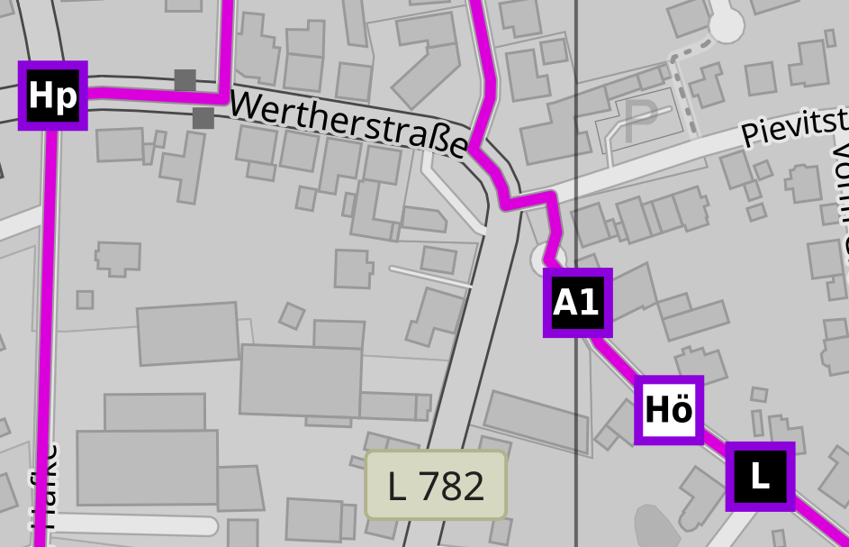
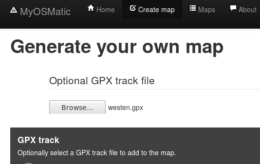
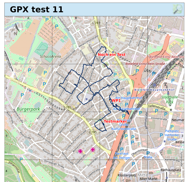
I’ve been collecting various map rendering styles for my MyOSMatic instance for quite a while now, integrating whatever I found useful and not too hard to integrate.

I’d now like to put a bit more systematic effort into this, and for this I need some “swarm intelligence” help.

So if you know of a map rendering style out there that you’d like to see supported please let me know.

Conditions:

  • The style files must be under a “sufficiently open” license
  • It needs to use Mapnik XML or CartoCSS as implementation language
  • … sorry, no MapCSS, unless someone can come up with a good converter to MapnikXML for that
  • It needs to be sufficiently distinct from the default CartoOSM style and other already supported styles so that it adds real value
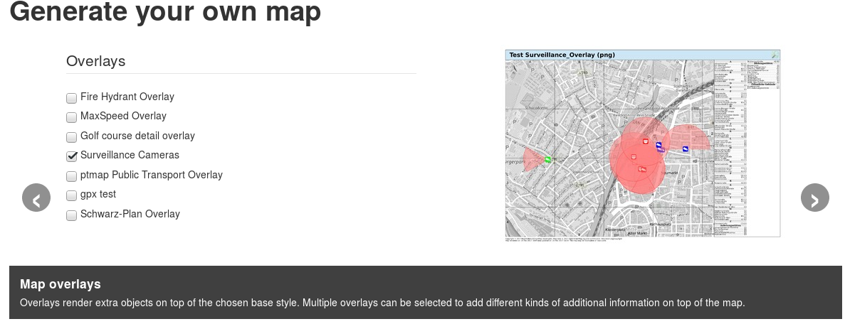
  • It must be based on the standard osm2pgsql database style. If it adds some fields on top of that it’s ok, this can be solved by providing views that make use of the hstore-all tags column. But setting up a completely different database schema is not possible due to space and processing time restrictions.

If you know of any good map styles that match the criteria above please let me know in a comment on this post, or even better: create a feature request issue on Github

Improved GPX bounding box handling

I had added the option to upload a GPX track in the MapOSMatic instance a little while ago, but using that was a bit tricky. This has just been improved a little big.

So far you had to manually select the map area to render before adding a GPX track which could be a bit tricky.

Now it is possible to select one of three options:

  • keep original bounding box (default, as before)
  • extend (merge) the bounding box to fully contain the GPX track, too
  • replace the selected bounding box with that of the GPX track completely

align=right

Temporary service lag

align=right

Update 2: CREATE INDEX just finished, OSM planet DB catching up with diffs again now. WayMarkedTrais route DB still not applying diffs right now for IO bandwidht reasons, will start to catch up when main database is up to date again

Update: data import finished, but GIS index still being built, and system still IO bound with that. So regular diff imports will only be resumed some time tomorrow (hopefully)

I’m currently importing contour line data provided by OpenSnowMap.

To reduce IO load I’ve disabled diff imports on the main and waymarked route databases for now, so latestest OSM changes from today are currently not rendered.

I expect the contours import to finish in the afternoon, and then diff imports to catch up before the end of the day.

SVG hiking route symbols

Route symbols in the WayMarkedTrails overlays were originally pre-rendered in fixed size PNG format, this lead to rather pixelized output, especially on large paper sizes, as the PNGs were made for screen resolution, not for high DPI printing.

Now symbol generation has been switched to produce scalable SVGs instead, so producing much sharper output:


Old: pixelized PNG images:

align=left


New: sharp SVG images

align=right

Rendering of uploaded GPX tracks finally works!

I had some GPX overlay tests running for a while already, and now I also finally have figured out how to manage file uploads in Django successfully.

So you can now upload your own GPX tracks in an additional form step and have them put on top of your rendered map.

align=right

align=right

Continue reading “Rendering of uploaded GPX tracks finally works!”

Waymarked trail overlays temporarily offline

I unfortonately noticed that the Waymarked overlays are failing to render some route segments, and even some complete routes.

So I’ve taken the various Waymarked overlays offline while doing a fresh database import once more. Unfortunately this will take a few days before everything is back to normal again.

Continue reading “Waymarked trail overlays temporarily offline”